Shiribetsu Dake Hike

4 Feb, 2013
Foreword
Shiribetsu dake, a short hike, is a good hike to get you started in exploring the vast winter snow covered lands of Hokkaido Japan. A short drive from Niseko and backing onto Rusutsu Ski Resort there are many great points to start. Always take care and be prepared, full backcountry kit and plenty of food and water.
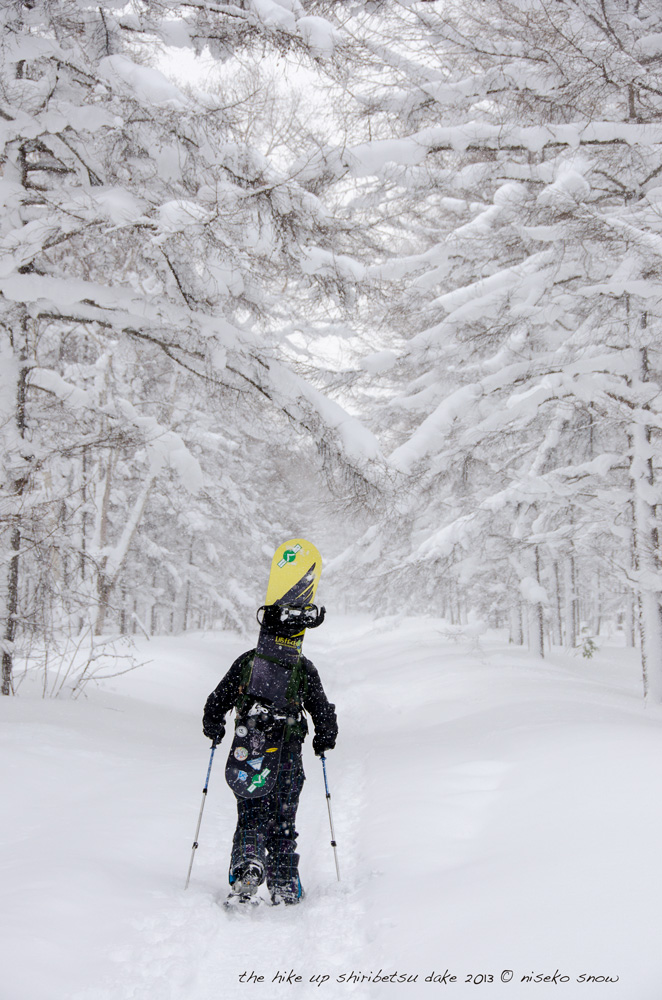
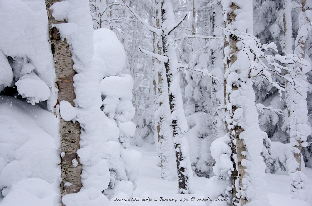
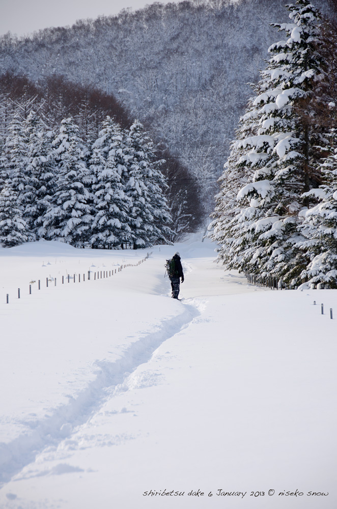
With a modest start to the day I was picked up by an old friend, after a coffee we hit the road for the short drive from Niseko out to the Shiribetsu dake hike start point we were using this day. We took a well used route on the west side that starts at the beginning of a summer forestry road. The weather on the day was forecast to break at mid-day so we expected to hike up in semi snowy conditions. For the first 20 minutes we followed the road , now 2 metres under, and then veered off and followed the skin tracks of skiers or split boarders that had been before us. We followed the possible spring creek bed until we reached the base of the steep west face of Shiribetsu dake. From here we took a route into the glades for the safety they offered and made the steep ascent , making a few traverses as we were following the skin tracks.
About half way up the steep ascent we took a small break, layered up more, re-energize with snacks we bought at the Makari convenience store and re-hydrated from our near frozen camel back mouth piece, yes it was cold, something not to take lightly. After about 5 minutes it was time to get back to it, as the cold that had nearly frozen our mouth piece was starting to bite and hiking is the best way to stop the lose of body heat. Knowing that we had made it over half way, it was comforting to know that the peak was only 40 odd minutes away.
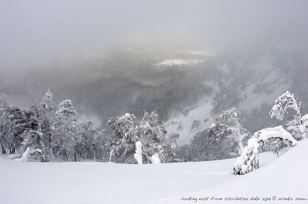
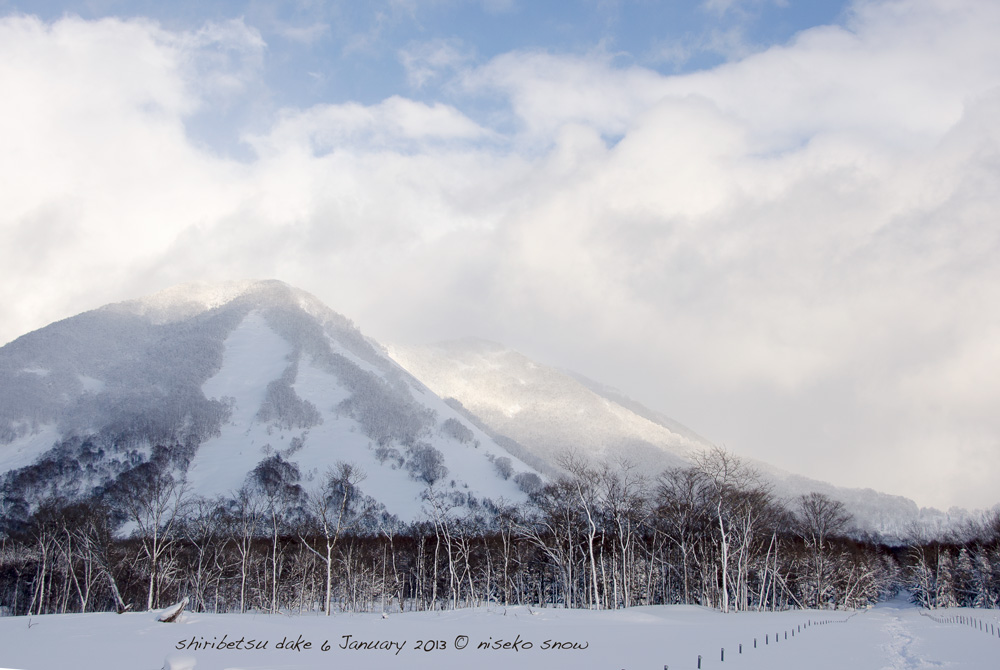
After about 30minutes we made the top ridge, we then hiked the ridge up a bit to a slightly lower peak on the mountain. Since it was still blowing we decided to wait here and not push for the real peak. We spent 10 to 15 minutes here, seeing the clouds break and then come back in. Getting glimpses of blue sky and the sun we made it back to where we came onto the top ridge 30 minutes earlier. Off the east side we saw the valley floor come in and out of vision through the still fast moving clouds.
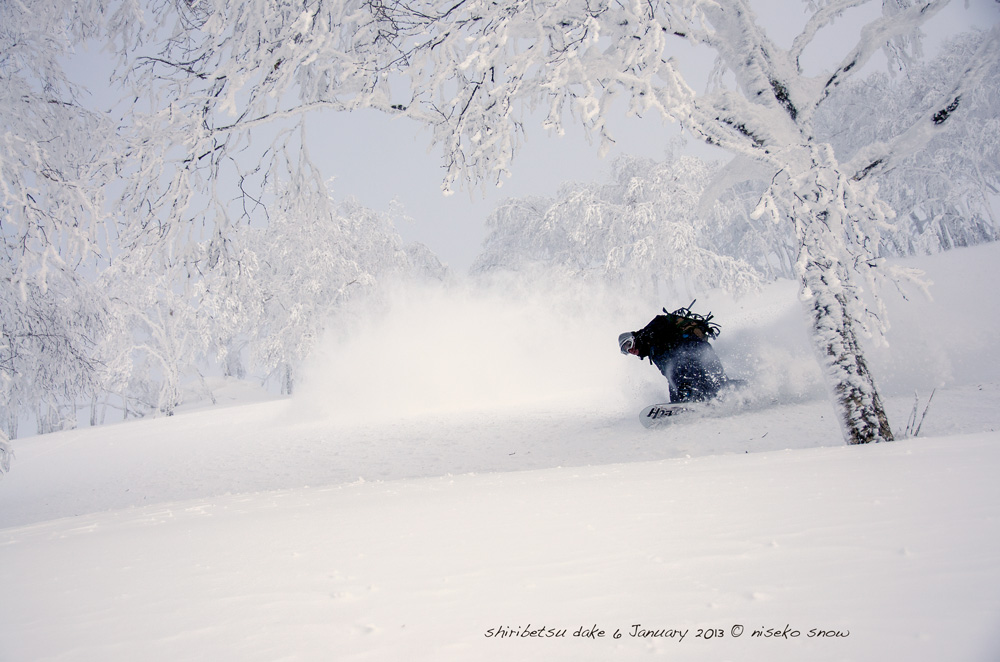
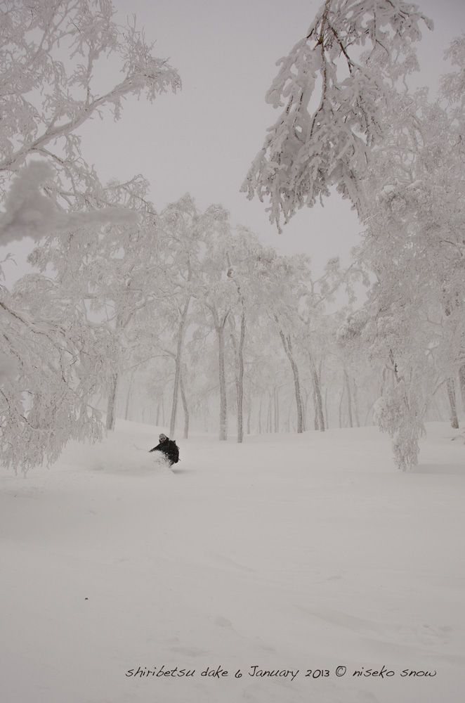
With light at it best we dropped in, taking the same route we had hiked up. With the temperature extremely cold, more that -15 with wind chill, removing gloves to shoot photos made my hands go numb within minutes, another reminder we should not take even small peaks lightly. With cloud still traveling at high speed above, larger patches of blue sky got larger as we made the bottom of the run and the day cleared as we hit the forestry road we took from our parked car. If we had have waited 10 more minutes we may have scored an even clearer run down but who was to know that.
The blue sky was quickly covered again by cloud after getting on the road, so we had done well.
Please do not use this story to plan your hike as directions are general, in hindsight I feel we should have possibly headed into the safety of the trees earlier as the open faces are avalanche paths and you never know who is before you and coming down. Enjoy your time in the winterous playground of Hokkaido, but always take extreme caution.
Written by:
Simon Ramsay
Designer, photographer and Internet and digital media professional who has lived and played in Hokkaido since 2001.